 vesseltracker.com
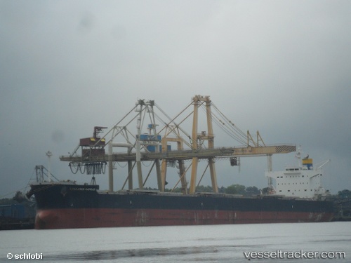
Lowlands Kamsar
Current StatusWhere is the vessel?
Lowlands Kamsar is currently in 37 nm SW of Xai-Xai, based on AIS data received about 1h ago.
Latest AIS update:
Current position: 25.61679° S, 33.37796° E (37 nm SW of Xai-Xai)
Average speed (last 7 days): Loading…
Average speed (last 30 days): Loading…
Vessel profile: Lowlands Kamsar is a Bulk Carrier with dimensions 32m x 229m.
This page combines live AIS, route history, probable destination signals, nearby traffic, and port activity for practical vessel monitoring.
The current position of vessel Lowlands Kamsar is -25.61679 lat / 33.37796 lng. Updated: 2026-04-10 05:30:06 UTCNearest reference points:
- 162 nm SE of Xai-Xai
Details:
Live Vessel Lowlands Kamsar Analytics (details, animations, etc.)
Recent AIS points (UTC):
2026-04-09 23:47:45 UTC · -25.29714, 34.60809 · SOG 12.8 kn · COG 252°2026-04-10 02:13:50 UTC · -25.46167, 34.06667 · SOG 12 kn · COG -1°
2026-04-10 04:02:14 UTC · -25.58442, 33.68274 · SOG 11.5 kn · COG 254°
2026-04-10 05:30:06 UTC · -25.61679, 33.37796 · SOG 11.8 kn · COG 269°