 vesseltracker.com
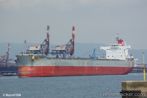
Hakuta
Current StatusWhere is the vessel?
Hakuta is currently in Open sea (no nearby ports in database), based on AIS data received about 1d ago.
Latest AIS update:
Current position: 30.95667° S, 4.74167° W (Open sea (no nearby ports in database))
Average speed (last 7 days): Loading…
Average speed (last 30 days): Loading…
Vessel profile: Hakuta is a Bulk Carrier with dimensions 32m x 229m.
This page combines live AIS, route history, probable destination signals, nearby traffic, and port activity for practical vessel monitoring.
The current position of vessel Hakuta is -30.95667 lat / -4.74167 lng. Updated: 2026-04-10 07:33:23 UTCNearest reference points:
- Open sea (no nearby ports in database)
Details:
Live Vessel Hakuta Analytics (details, animations, etc.)
Recent AIS points (UTC):
2026-04-10 02:38:35 UTC · -31.15860, -3.64171 · SOG 11.6 kn · COG 281°2026-04-10 04:21:37 UTC · -31.09008, -4.02349 · SOG 12 kn · COG 281°
2026-04-10 05:21:20 UTC · -31.05167, -4.24667 · SOG 11 kn · COG -1°
2026-04-10 07:33:23 UTC · -30.95667, -4.74167 · SOG 12 kn · COG -1°