 vesseltracker.com
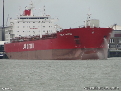
 MAGNATE
Current Status
Where is the vessel?
MAGNATE is currently in 56 nm N of Isla Grande, based on AIS data received about 1h ago.
Latest AIS update:
Current position: 10.52619° N, 79.82152° W (56 nm N of Isla Grande)
Average speed (last 7 days): Loading…
Average speed (last 30 days): Loading…
Vessel profile: MAGNATE is a Oil/Chemical Tanker with dimensions m x m.
This page combines live AIS, route history, probable destination signals, nearby traffic, and port activity for practical vessel monitoring.
The current position of vessel MAGNATE is 10.52619 lat / -79.82152 lng. Updated: 2026-04-14 06:03:48 UTCNearest reference points:
- Near Colon
- Near COLON 2000
- Near Colón Free Zone
Currently sailing under the flag of Marshall Islands ![]()
Details:
Live Vessel MAGNATE Analytics (details, animations, etc.)
Recent AIS points (UTC):
2026-04-14 00:00:55 UTC · 11.66598, -79.77417 · SOG 11.7 kn · COG 181°2026-04-14 02:05:04 UTC · 11.26071, -79.78785 · SOG 11.6 kn · COG 182°
2026-04-14 03:47:17 UTC · 10.93597, -79.80677 · SOG 11.2 kn · COG 183°
2026-04-14 06:03:48 UTC · 10.52619, -79.82152 · SOG 10.8 kn · COG 183°