 vesseltracker.com
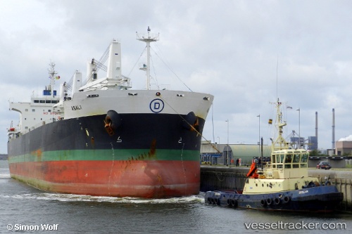
 PRISMA
Current Status
Where is the vessel?
PRISMA is currently in 11 nm NE of RUMELI FENERI, based on AIS data received about 1h ago.
Latest AIS update:
Current position: 41.34006° N, 29.32173° E (11 nm NE of RUMELI FENERI)
Average speed (last 7 days): Loading…
Average speed (last 30 days): Loading…
Vessel profile: PRISMA is a Bulk Carrier with dimensions m x m.
This page combines live AIS, route history, probable destination signals, nearby traffic, and port activity for practical vessel monitoring.
The current position of vessel PRISMA is 41.34006 lat / 29.32173 lng. Updated: 2026-04-08 15:46:04 UTCNearest reference points:
- Near RUMELI FENERI
- 19 nm NE of RUMELI FENERI
- Near Istinye/Istambul
Currently sailing under the flag of Marshall Islands ![]()
Details:
Live Vessel PRISMA Analytics (details, animations, etc.)
Recent AIS points (UTC):
2026-04-08 10:14:15 UTC · 40.70126, 28.81609 · SOG 0.9 kn · COG 195°2026-04-08 12:16:01 UTC · 40.86495, 28.89950 · SOG 10.8 kn · COG 35°
2026-04-08 13:58:15 UTC · 41.09224, 29.06050 · SOG 10.9 kn · COG 9°
2026-04-08 15:46:04 UTC · 41.34006, 29.32173 · SOG 12.8 kn · COG 55°