 vesseltracker.com
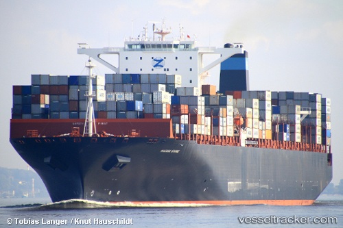
 Erving
Current Status
Where is the vessel?
Erving is currently in 24 nm W of Moratuwa, based on AIS data received about 2d ago.
Latest AIS update:
Current position: 6.69984° N, 79.47320° E (24 nm W of Moratuwa)
Average speed (last 7 days): Loading…
Average speed (last 30 days): Loading…
Vessel profile: Erving is a Container Ship with dimensions 366m x 48m.
This page combines live AIS, route history, probable destination signals, nearby traffic, and port activity for practical vessel monitoring.
The current position of vessel Erving is 6.69984 lat / 79.47320 lng. Updated: 2026-03-27 01:33:10 UTCNearest reference points:
- 67 nm SW of Moratuwa
- 19 nm SW of Bataduwa
- 82 nm W of Moratuwa
Currently sailing under the flag of United Kingdom ![]()
Erving built in 2011 year
Deadweight:
141377 tDetails:
Live Vessel Erving Analytics (details, animations, etc.)
Recent AIS points (UTC):
2026-03-27 00:12:21 UTC · 7.01987, 79.68861 · SOG 17.9 kn · COG 273°2026-03-27 01:33:10 UTC · 6.69984, 79.47320 · SOG 13.6 kn · COG 212°
2026-03-27 01:33:10 UTC · 6.69984, 79.47320 · SOG 13.6 kn · COG 212°
2026-03-27 01:33:10 UTC · 6.69984, 79.47320 · SOG 13.6 kn · COG 212°