 vesseltracker.com
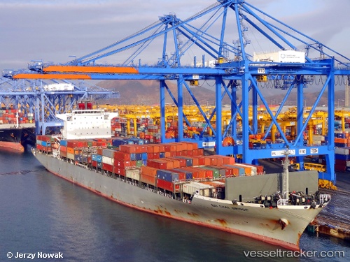
Bai Chay Bridge
Current StatusWhere is the vessel?
Bai Chay Bridge is currently in Near Yokkaichi, based on AIS data received about 11h ago.
Latest AIS update:
Current position: 34.88030° N, 136.74086° E (Near Yokkaichi)
Average speed (last 7 days): Loading…
Average speed (last 30 days): Loading…
Vessel profile: Bai Chay Bridge is a Container Ship with dimensions 36m x 266m.
This page combines live AIS, route history, probable destination signals, nearby traffic, and port activity for practical vessel monitoring.
The current position of vessel Bai Chay Bridge is 34.88030 lat / 136.74086 lng. Updated: 2026-04-10 08:21:09 UTCNearest reference points:
- Near Yokkaichi
- Near Kinuura
- Near Nagoya
Details:
Live Vessel Bai Chay Bridge Analytics (details, animations, etc.)
Recent AIS points (UTC):
2026-04-10 01:52:36 UTC · 34.60144, 136.96045 · SOG 15.1 kn · COG 310°2026-04-10 03:55:28 UTC · 34.88226, 136.74031 · SOG 0.2 kn · COG 189°
2026-04-10 05:45:17 UTC · 34.88218, 136.73969 · SOG 0 kn · COG 167°
2026-04-10 08:21:09 UTC · 34.88030, 136.74086 · SOG 0.2 kn · COG 194°