 vesseltracker.com
 Rex Oldendorff
Current Status
Where is the vessel?
Rex Oldendorff is currently in 60 nm N of SAO LUIS, based on AIS data received about 6h ago.
Latest AIS update:
Current position: 0.94156° N, 0.32027° W (60 nm N of SAO LUIS)
Average speed (last 7 days): Loading…
Average speed (last 30 days): Loading…
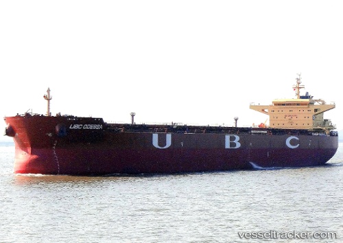
Vessel profile: Rex Oldendorff is a Bulk Carrier with dimensions 260m x 260m.
This page combines live AIS, route history, probable destination signals, nearby traffic, and port activity for practical vessel monitoring.
The current position of vessel Rex Oldendorff is 0.94156 lat / -0.32027 lng. Updated: 2026-04-03 16:58:01 UTCNearest reference points:
- 66 nm N of SAO LUIS
- Near Porsuk
- Near SAO LUIS
Currently sailing under the flag of Liberia ![]()
Rex Oldendorff built in 2011 year
Deadweight:
118585 tDetails:
Live Vessel Rex Oldendorff Analytics (details, animations, etc.)
Recent AIS points (UTC):
2026-04-03 14:13:21 UTC · 1.35135, -0.46958 · SOG 9.4 kn · COG 157°2026-04-03 16:58:01 UTC · 0.94156, -0.32027 · SOG 9.6 kn · COG 159°
2026-04-03 16:58:01 UTC · 0.94156, -0.32027 · SOG 9.6 kn · COG 159°
2026-04-03 16:58:01 UTC · 0.94156, -0.32027 · SOG 9.6 kn · COG 159°