 vesseltracker.com
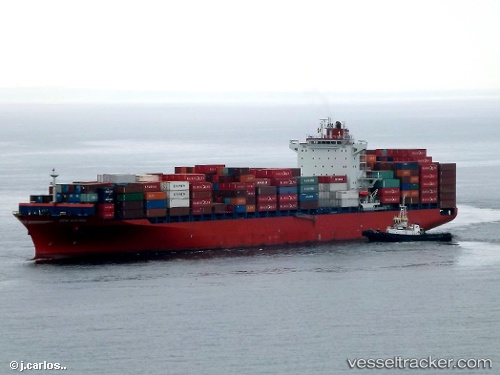
 Maliakos
Current Status
Where is the vessel?
Maliakos is currently in 48 nm S of Paracas, based on AIS data received less than 1h ago.
Latest AIS update:
Current position: 14.67411° S, 76.27847° W (48 nm S of Paracas)
Average speed (last 7 days): Loading…
Average speed (last 30 days): Loading…
Vessel profile: Maliakos is a Container Ship with dimensions 262m x 32m.
This page combines live AIS, route history, probable destination signals, nearby traffic, and port activity for practical vessel monitoring.
The current position of vessel Maliakos is -14.67411 lat / -76.27847 lng. Updated: 2026-04-18 06:17:51 UTCNearest reference points:
- 110 nm SW of San Juan
Currently sailing under the flag of Liberia ![]()
Maliakos built in 2012 year
Deadweight:
51310 tDetails:
Live Vessel Maliakos Analytics (details, animations, etc.)
Recent AIS points (UTC):
2026-04-18 00:04:00 UTC · -13.38869, -77.16247 · SOG 14.8 kn · COG 149°2026-04-18 02:21:02 UTC · -13.88302, -76.86948 · SOG 15.2 kn · COG 149°
2026-04-18 03:53:59 UTC · -14.22042, -76.67037 · SOG 14.8 kn · COG 149°
2026-04-18 06:17:51 UTC · -14.67411, -76.27847 · SOG 15.2 kn · COG 131°