 vesseltracker.com
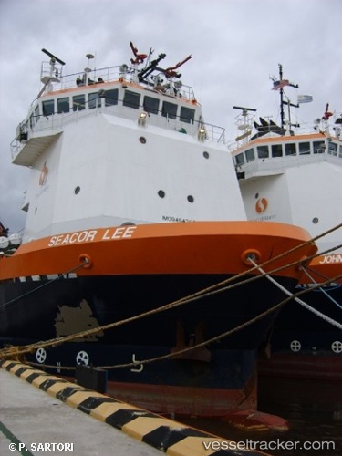
 OCEAN LEE
Current Status
Where is the vessel?
OCEAN LEE is currently in 13 nm E of HITAKATSU, based on AIS data received about 1h ago.
Latest AIS update:
Current position: 34.66156° N, 129.74870° E (13 nm E of HITAKATSU)
Average speed (last 7 days): Loading…
Average speed (last 30 days): Loading…
Vessel profile: OCEAN LEE is a Anchor Handling Vessel with dimensions m x m.
This page combines live AIS, route history, probable destination signals, nearby traffic, and port activity for practical vessel monitoring.
The current position of vessel OCEAN LEE is 34.66156 lat / 129.74870 lng. Updated: 2026-04-19 11:28:05 UTCNearest reference points:
- 30 nm NW of Hibiki-Nada
- 27 nm SE of ONSAN
- 29 nm NW of Hibiki-Nada
Currently sailing under the flag of United States ![]()
Details:
Live Vessel OCEAN LEE Analytics (details, animations, etc.)
Recent AIS points (UTC):
2026-04-19 07:50:00 UTC · 34.43660, 130.15460 · SOG 6 kn · COG -1°2026-04-19 09:39:08 UTC · 34.54291, 129.96437 · SOG 6.3 kn · COG -1°
2026-04-19 09:55:11 UTC · 34.55858, 129.93608 · SOG 6.4 kn · COG -1°
2026-04-19 11:28:05 UTC · 34.66156, 129.74870 · SOG 6.6 kn · COG -1°