 vesseltracker.com
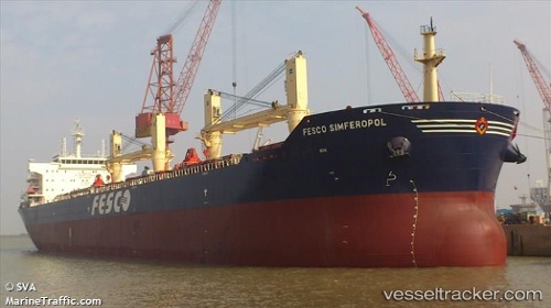
 SEA LIBRA
Current Status
Where is the vessel?
SEA LIBRA is currently in 62 nm E of Hua-Lien Kang, based on AIS data received about 1d ago.
Latest AIS update:
Current position: 23.65733° N, 122.68271° E (62 nm E of Hua-Lien Kang)
Average speed (last 7 days): Loading…
Average speed (last 30 days): Loading…
Vessel profile: SEA LIBRA is a Bulk Carrier with dimensions m x m.
This page combines live AIS, route history, probable destination signals, nearby traffic, and port activity for practical vessel monitoring.
The current position of vessel SEA LIBRA is 23.65733 lat / 122.68271 lng. Updated: 2026-04-10 01:09:54 UTCNearest reference points:
- 26 nm E of Hua-Lien Kang
- Near SUAO
- Near Au-Ao Chaing
Currently sailing under the flag of Singapore ![]()
Details:
Live Vessel SEA LIBRA Analytics (details, animations, etc.)
Recent AIS points (UTC):
2026-04-07 09:23:53 UTC · 30.14268, 129.37006 · SOG 8.8 kn · COG -1°2026-04-10 01:09:54 UTC · 23.65733, 122.68271 · SOG 8 kn · COG 214°
2026-04-10 01:09:54 UTC · 23.65733, 122.68271 · SOG 8 kn · COG 214°
2026-04-10 01:09:54 UTC · 23.65733, 122.68271 · SOG 8 kn · COG 214°