 vesseltracker.com
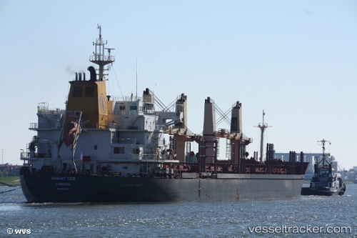
 ORIENT TIDE
Current Status
Where is the vessel?
ORIENT TIDE is currently in Near San Jose, based on AIS data received about 1h ago.
Latest AIS update:
Current position: 13.87395° N, 90.83065° W (Near San Jose)
Average speed (last 7 days): Loading…
Average speed (last 30 days): Loading…
Vessel profile: ORIENT TIDE is a Bulk Carrier with dimensions m x m.
This page combines live AIS, route history, probable destination signals, nearby traffic, and port activity for practical vessel monitoring.
The current position of vessel ORIENT TIDE is 13.87395 lat / -90.83065 lng. Updated: 2026-04-10 02:40:17 UTCNearest reference points:
- Near San Jose
Currently sailing under the flag of Cyprus ![]()
Details:
Live Vessel ORIENT TIDE Analytics (details, animations, etc.)
Recent AIS points (UTC):
2026-04-09 20:17:28 UTC · 13.92316, -90.78582 · SOG 0 kn · COG 160°2026-04-09 22:08:30 UTC · 13.92315, -90.78582 · SOG 0 kn · COG 160°
2026-04-10 00:05:50 UTC · 13.92358, -90.78800 · SOG 2.4 kn · COG 208°
2026-04-10 02:40:17 UTC · 13.87395, -90.83065 · SOG 0.1 kn · COG 263°