 vesseltracker.com
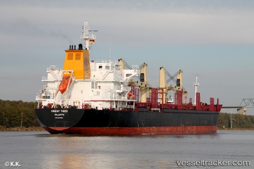
 BOS ANJIL
Current Status
Where is the vessel?
BOS ANJIL is currently in 49 nm SW of Al Hudaydah, based on AIS data received about 7h ago.
Latest AIS update:
Current position: 14.30333° N, 42.25667° E (49 nm SW of Al Hudaydah)
Average speed (last 7 days): Loading…
Average speed (last 30 days): Loading…
Vessel profile: BOS ANJIL is a Bulk Carrier with dimensions m x m.
This page combines live AIS, route history, probable destination signals, nearby traffic, and port activity for practical vessel monitoring.
The current position of vessel BOS ANJIL is 14.30333 lat / 42.25667 lng. Updated: 2026-04-10 07:04:49 UTCNearest reference points:
- 81 nm NW of As Salif
Currently sailing under the flag of Saint Vincent and the Grenadines ![]()
Details:
Live Vessel BOS ANJIL Analytics (details, animations, etc.)
Recent AIS points (UTC):
2026-04-10 02:24:57 UTC · 13.49182, 42.76409 · SOG 13 kn · COG 311°2026-04-10 03:46:38 UTC · 13.72213, 42.58987 · SOG 12.4 kn · COG 331°
2026-04-10 06:07:44 UTC · 14.14167, 42.35833 · SOG 11 kn · COG -1°
2026-04-10 07:04:49 UTC · 14.30333, 42.25667 · SOG 11 kn · COG -1°