 vesseltracker.com
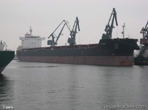
Star Flame
Current StatusWhere is the vessel?
Star Flame is currently in 144 nm W of Bernal, based on AIS data received about 1h ago.
Latest AIS update:
Current position: 35.50930° S, 41.01060° W (144 nm W of Bernal)
Average speed (last 7 days): Loading…
Average speed (last 30 days): Loading…
Vessel profile: Star Flame is a Bulk Carrier with dimensions 32m x 230m.
This page combines live AIS, route history, probable destination signals, nearby traffic, and port activity for practical vessel monitoring.
The current position of vessel Star Flame is -35.50930 lat / -41.01060 lng. Updated: 2026-04-17 17:28:28 UTCNearest reference points:
- 158 nm NW of Bernal
- 92 nm NW of Bernal
Details:
Live Vessel Star Flame Analytics (details, animations, etc.)
Recent AIS points (UTC):
2026-04-17 12:06:56 UTC · -35.45090, -39.61241 · SOG 12.3 kn · COG 266°2026-04-17 14:15:57 UTC · -35.46508, -40.16902 · SOG 12.9 kn · COG 264°
2026-04-17 16:25:30 UTC · -35.48891, -40.73333 · SOG 12.9 kn · COG 262°
2026-04-17 17:28:28 UTC · -35.50930, -41.01060 · SOG 13.1 kn · COG 262°