 vesseltracker.com
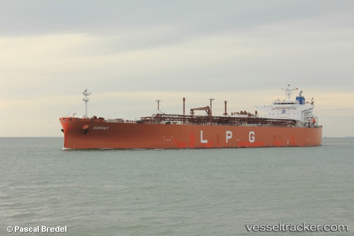
Dorset
Current StatusWhere is the vessel?
Dorset is currently in 324 nm SE of Santa Venera, based on AIS data received less than 1h ago.
Latest AIS update:
Current position: 32.87070° N, 148.82887° E (324 nm SE of Santa Venera)
Average speed (last 7 days): Loading…
Average speed (last 30 days): Loading…
Vessel profile: Dorset is a Lpg Tanker with dimensions 38m x 226m.
This page combines live AIS, route history, probable destination signals, nearby traffic, and port activity for practical vessel monitoring.
The current position of vessel Dorset is 32.87070 lat / 148.82887 lng. Updated: 2026-03-31 07:58:49 UTCNearest reference points:
- Open sea, approx. 400 nm off the nearest listed port
- Open sea, approx. 402 nm off the nearest listed port
- Open sea, approx. 406 nm off the nearest listed port
Details:
Live Vessel Dorset Analytics (details, animations, etc.)
Recent AIS points (UTC):
2026-03-31 02:12:42 UTC · 32.91314, 150.46014 · SOG 14.7 kn · COG 267°2026-03-31 03:54:36 UTC · 32.90637, 149.96783 · SOG 14.7 kn · COG 263°
2026-03-31 06:21:52 UTC · 32.88538, 149.28357 · SOG 14.2 kn · COG 267°
2026-03-31 07:58:49 UTC · 32.87070, 148.82887 · SOG 14 kn · COG 268°