 vesseltracker.com
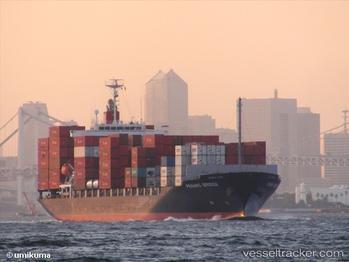
 Penang Bridge
Current Status
Where is the vessel?
Penang Bridge is currently in 21 nm S of Fuengirola, based on AIS data received about 1h ago.
Latest AIS update:
Current position: 36.19047° N, 4.58092° W (21 nm S of Fuengirola)
Average speed (last 7 days): Loading…
Average speed (last 30 days): Loading…
Vessel profile: Penang Bridge is a Container Ship with dimensions 172m x 28m.
This page combines live AIS, route history, probable destination signals, nearby traffic, and port activity for practical vessel monitoring.
The current position of vessel Penang Bridge is 36.19047 lat / -4.58092 lng. Updated: 2026-04-18 01:23:55 UTCNearest reference points:
- 30 nm E of Ceuta
- Near Fuengirola
- 31 nm SE of Fuengirola
Currently sailing under the flag of Panama ![]()
Penang Bridge built in 2009 year
Deadweight:
21927 tDetails:
Live Vessel Penang Bridge Analytics (details, animations, etc.)
Recent AIS points (UTC):
2026-04-17 19:57:25 UTC · 36.22652, -4.65248 · SOG 0.6 kn · COG 13°2026-04-17 22:17:05 UTC · 36.22102, -4.62237 · SOG 0.6 kn · COG 315°
2026-04-17 23:24:05 UTC · 36.21317, -4.60840 · SOG 0.8 kn · COG 316°
2026-04-18 01:23:55 UTC · 36.19047, -4.58092 · SOG 0.3 kn · COG 320°