 vesseltracker.com
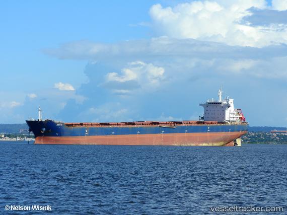
Juruti
Current StatusWhere is the vessel?
Juruti is currently in Near Kilronan, based on AIS data received about 1h ago.
Latest AIS update:
Current position: 52.59776° N, 9.58128° W (Near Kilronan)
Average speed (last 7 days): Loading…
Average speed (last 30 days): Loading…
Vessel profile: Juruti is a Bulk Carrier with dimensions 32m x 225m.
This page combines live AIS, route history, probable destination signals, nearby traffic, and port activity for practical vessel monitoring.
The current position of vessel Juruti is 52.59776 lat / -9.58128 lng. Updated: 2026-04-18 09:26:07 UTCNearest reference points:
- Near Tarbert Island
- Near CASTLETOWN BEARHAVEN
- Near Skull
Details:
Live Vessel Juruti Analytics (details, animations, etc.)
Recent AIS points (UTC):
2026-04-18 03:32:07 UTC · 52.59821, -9.56992 · SOG 0 kn · COG 281°2026-04-18 05:47:11 UTC · 52.59786, -9.57001 · SOG 0.1 kn · COG 293°
2026-04-18 07:44:06 UTC · 52.59871, -9.57932 · SOG 0.7 kn · COG 84°
2026-04-18 09:26:07 UTC · 52.59776, -9.58128 · SOG 0.5 kn · COG 73°