 vesseltracker.com
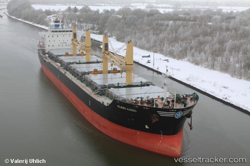
 Global Harmony
Current Status
Where is the vessel?
Global Harmony is currently in Near Puerto Alumbrera, based on AIS data received less than 1h ago.
Latest AIS update:
Current position: 32.60333° S, 60.76167° W (Near Puerto Alumbrera)
Average speed (last 7 days): Loading…
Average speed (last 30 days): Loading…
Vessel profile: Global Harmony is a Bulk Carrier with dimensions 180m x 30m.
This page combines live AIS, route history, probable destination signals, nearby traffic, and port activity for practical vessel monitoring.
The current position of vessel Global Harmony is -32.60333 lat / -60.76167 lng. Updated: 2026-04-02 11:55:29 UTCNearest reference points:
- Near Puerto Alumbrera
- Near Quebracho/San Lorenzo
- 10 nm NW of San Pedro
Currently sailing under the flag of Liberia ![]()
Global Harmony built in 2010 year
Deadweight:
35000 tDetails:
Live Vessel Global Harmony Analytics (details, animations, etc.)
Recent AIS points (UTC):
2026-04-02 06:02:50 UTC · -32.60419, -60.76208 · SOG 0 kn · COG -1°2026-04-02 07:19:33 UTC · -32.60333, -60.76167 · SOG 0 kn · COG -1°
2026-04-02 10:22:29 UTC · -32.60333, -60.76167 · SOG 0 kn · COG -1°
2026-04-02 11:55:29 UTC · -32.60333, -60.76167 · SOG 0 kn · COG -1°