 vesseltracker.com
 HARMONY OCEAN
Current Status
Where is the vessel?
HARMONY OCEAN is currently in Near Dar es Salaam, based on AIS data received about 1h ago.
Latest AIS update:
Current position: 6.76583° S, 39.34533° E (Near Dar es Salaam)
Average speed (last 7 days): Loading…
Average speed (last 30 days): Loading…
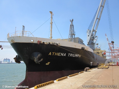
Vessel profile: HARMONY OCEAN is a General Cargo with dimensions m x m.
This page combines live AIS, route history, probable destination signals, nearby traffic, and port activity for practical vessel monitoring.
The current position of vessel HARMONY OCEAN is -6.76583 lat / 39.34533 lng. Updated: 2026-04-12 19:29:27 UTCNearest reference points:
- Near Dar Es Salaam
Currently sailing under the flag of Marshall Islands ![]()
Details:
Live Vessel HARMONY OCEAN Analytics (details, animations, etc.)
Recent AIS points (UTC):
2026-04-12 14:26:24 UTC · -6.76567, 39.34550 · SOG 0 kn · COG 136°2026-04-12 16:26:27 UTC · -6.76567, 39.34583 · SOG 0 kn · COG 156°
2026-04-12 17:50:27 UTC · -6.76583, 39.34533 · SOG 0 kn · COG 138°
2026-04-12 19:29:27 UTC · -6.76583, 39.34533 · SOG 0 kn · COG 139°