 vesseltracker.com
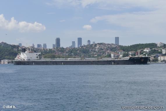
 ASTRAKA
Current Status
Where is the vessel?
ASTRAKA is currently in Near Guarujá, based on AIS data received about 2h ago.
Latest AIS update:
Current position: 24.08736° S, 46.26720° W (Near Guarujá)
Average speed (last 7 days): Loading…
Average speed (last 30 days): Loading…
Vessel profile: ASTRAKA is a Bulk Carrier with dimensions m x m.
This page combines live AIS, route history, probable destination signals, nearby traffic, and port activity for practical vessel monitoring.
The current position of vessel ASTRAKA is -24.08736 lat / -46.26720 lng. Updated: 2026-04-10 07:48:01 UTCNearest reference points:
- Near Guarujá
- Near Santos
- 30 nm SE of Guarujá
Currently sailing under the flag of Marshall Islands ![]()
Details:
Live Vessel ASTRAKA Analytics (details, animations, etc.)
Recent AIS points (UTC):
2026-04-10 02:04:25 UTC · -24.08630, -46.26913 · SOG 0.1 kn · COG 205°2026-04-10 03:24:03 UTC · -24.08654, -46.26855 · SOG 0.1 kn · COG 220°
2026-04-10 06:12:01 UTC · -24.08769, -46.26708 · SOG 0.2 kn · COG 257°
2026-04-10 07:48:01 UTC · -24.08736, -46.26720 · SOG 0.1 kn · COG 249°