 SUPRA DUKE
Current Status
Where is the vessel?
SUPRA DUKE is currently in 42 nm N of Villanueva de Lorenzana, based on AIS data received about 15h ago.
Latest AIS update:
Current position: 44.15130° N, 9.07562° W (42 nm N of Villanueva de Lorenzana)
Average speed (last 7 days): Loading…
Average speed (last 30 days): Loading…
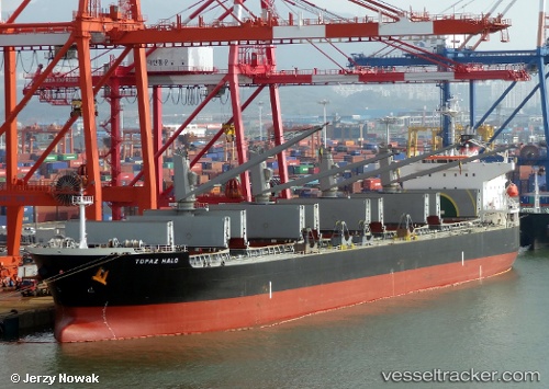
Vessel profile: SUPRA DUKE is a Bulk Carrier with dimensions m x m.
This page combines live AIS, route history, probable destination signals, nearby traffic, and port activity for practical vessel monitoring.
The current position of vessel SUPRA DUKE is 44.15130 lat / -9.07562 lng. Updated: 2026-05-24 05:38:28 UTCNearest reference points:
- 30 nm NW of Meiras-Valdoviño
- 13 nm NE of Villanueva de Lorenzana
- 15 nm NW of CEDEIRA
Currently sailing under the flag of Liberia ![]()
Details:
Live Vessel SUPRA DUKE Analytics (details, animations, etc.)
Recent AIS points (UTC):
2026-05-24 01:47:08 UTC · 43.60466, -9.48532 · SOG 8.9 kn · COG 27°2026-05-24 03:53:28 UTC · 43.89145, -9.27690 · SOG 9.9 kn · COG 35°
2026-05-24 05:13:48 UTC · 44.08673, -9.11605 · SOG 9.7 kn · COG 25°
2026-05-24 05:38:28 UTC · 44.15130, -9.07562 · SOG 10.9 kn · COG 27°