 vesseltracker.com
 FREEDOM
Current Status
Where is the vessel?
FREEDOM is currently in Open sea, approx. 444 nm off the nearest listed port, based on AIS data received less than 1h ago.
Latest AIS update:
Current position: 37.28589° S, 0.51030° W (Open sea, approx. 444 nm off the nearest listed port)
Average speed (last 7 days): Loading…
Average speed (last 30 days): Loading…
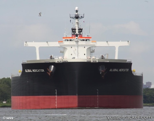
Vessel profile: FREEDOM is a Bulk Carrier with dimensions 292m x 45m.
This page combines live AIS, route history, probable destination signals, nearby traffic, and port activity for practical vessel monitoring.
The current position of vessel FREEDOM is -37.28589 lat / -0.51030 lng. Updated: 2026-04-07 17:44:10 UTCNearest reference points:
- Open sea, approx. 444 nm off the nearest listed port
- Open sea, approx. 450 nm off the nearest listed port
- Open sea, approx. 439 nm off the nearest listed port
Currently sailing under the flag of Bahamas ![]()
FREEDOM built in 2011 year
Deadweight:
182205 tDetails:
Live Vessel FREEDOM Analytics (details, animations, etc.)
Recent AIS points (UTC):
2026-04-07 11:39:20 UTC · -37.10840, -1.98460 · SOG 11.9 kn · COG 97°2026-04-07 13:18:33 UTC · -37.15762, -1.57883 · SOG 11.7 kn · COG 98°
2026-04-07 15:16:39 UTC · -37.21634, -1.10617 · SOG 12.1 kn · COG 100°
2026-04-07 17:44:10 UTC · -37.28589, -0.51030 · SOG 11.6 kn · COG 100°