 POWER GLOBE
Current Status
Where is the vessel?
POWER GLOBE is currently in 107 nm NW of Ljubescica, based on AIS data received about 15h ago.
Latest AIS update:
Current position: 47.45372° N, 160.80739° E (107 nm NW of Ljubescica)
Average speed (last 7 days): Loading…
Average speed (last 30 days): Loading…
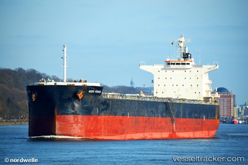
Vessel profile: POWER GLOBE is a Bulk Carrier with dimensions m x m.
This page combines live AIS, route history, probable destination signals, nearby traffic, and port activity for practical vessel monitoring.
The current position of vessel POWER GLOBE is 47.45372 lat / 160.80739 lng. Updated: 2026-05-24 08:05:01 UTCCurrently sailing under the flag of Cyprus ![]()
Details:
Live Vessel POWER GLOBE Analytics (details, animations, etc.)
Recent AIS points (UTC):
2026-05-24 04:48:57 UTC · 47.23017, 159.86946 · SOG 12.5 kn · COG 68°2026-05-24 06:19:40 UTC · 47.33424, 160.30910 · SOG 12.5 kn · COG 68°
2026-05-24 07:12:15 UTC · 47.39667, 160.55667 · SOG 12 kn · COG -1°
2026-05-24 08:05:01 UTC · 47.45372, 160.80739 · SOG 12.4 kn · COG 71°