 vesseltracker.com
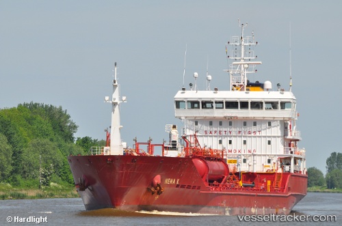
 Gunga
Gunga
Current Status
Where is the vessel?
Gunga is currently in 36 nm SE of Muskö, based on AIS data received about 1h ago.
Latest AIS update:
Current position: 58.47598° N, 18.79103° E (36 nm SE of Muskö)
Average speed (last 7 days): Loading…
Average speed (last 30 days): Loading…
Vessel profile: Gunga is a Chemical Oil Products Tanker with dimensions 109m x 109m.
This page combines live AIS, route history, probable destination signals, nearby traffic, and port activity for practical vessel monitoring.
The current position of vessel Gunga is 58.47598 lat / 18.79103 lng. Updated: 2026-04-22 22:02:01 UTCNearest reference points:
- Near NOTTNAS
- Near Gustavsvik/Stockholm
- Near Värmdö
Currently sailing under the flag of Cyprus ![]()
Gunga built in 2009 year
Deadweight:
6480 tDetails:
Live Vessel Gunga Analytics (details, animations, etc.)
Recent AIS points (UTC):
2026-04-22 19:34:50 UTC · 58.06159, 18.37186 · SOG 11.8 kn · COG 31°2026-04-22 20:02:19 UTC · 58.13968, 18.45339 · SOG 11.4 kn · COG 31°
2026-04-22 21:40:04 UTC · 58.41456, 18.72931 · SOG 11.3 kn · COG -1°
2026-04-22 22:02:01 UTC · 58.47598, 18.79103 · SOG 11.3 kn · COG 27°