 vesseltracker.com
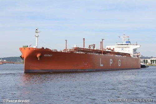
 BW PINE
Current Status
Where is the vessel?
BW PINE is currently in Near Sekupang, based on AIS data received about 1h ago.
Latest AIS update:
Current position: 1.09806° N, 103.89021° E (Near Sekupang)
Average speed (last 7 days): Loading…
Average speed (last 30 days): Loading…
Vessel profile: BW PINE is a LPG Tanker with dimensions 226m x 226m.
This page combines live AIS, route history, probable destination signals, nearby traffic, and port activity for practical vessel monitoring.
The current position of vessel BW PINE is 1.09806 lat / 103.89021 lng. Updated: 2026-03-30 04:01:35 UTCNearest reference points:
- Near Sekupang
- Near Sambu
- Near Batam Island
Currently sailing under the flag of India ![]()
BW PINE built in 2011 year
Deadweight:
53028 tDetails:
Live Vessel BW PINE Analytics (details, animations, etc.)
Recent AIS points (UTC):
2026-03-29 21:55:35 UTC · 1.09805, 103.89022 · SOG 0 kn · COG 4°2026-03-30 00:04:35 UTC · 1.09805, 103.89023 · SOG 0 kn · COG 4°
2026-03-30 01:28:37 UTC · 1.09806, 103.89020 · SOG 0 kn · COG 4°
2026-03-30 04:01:35 UTC · 1.09806, 103.89021 · SOG 0 kn · COG 4°