 vesseltracker.com
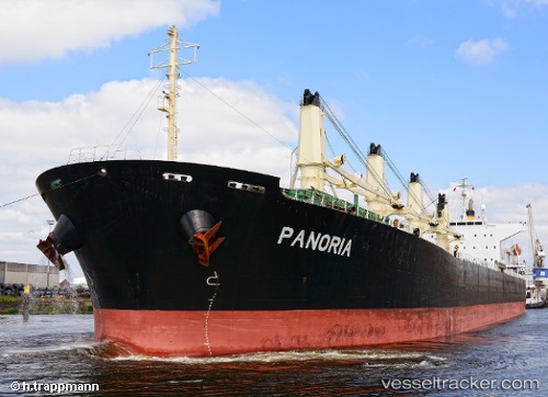
 Panoria
Current Status
Where is the vessel?
Panoria is currently in 96 nm W of Navarino Bay, based on AIS data received less than 1h ago.
Latest AIS update:
Current position: 36.36430° N, 19.79537° E (96 nm W of Navarino Bay)
Average speed (last 7 days): Loading…
Average speed (last 30 days): Loading…
Vessel profile: Panoria is a Bulk Carrier with dimensions 190m x 32m.
This page combines live AIS, route history, probable destination signals, nearby traffic, and port activity for practical vessel monitoring.
The current position of vessel Panoria is 36.36430 lat / 19.79537 lng. Updated: 2026-04-20 20:02:53 UTCNearest reference points:
- 103 nm NE of Ryuo
- 23 nm S of Methoni
- 71 nm N of Pinelands
Currently sailing under the flag of Marshall Is ![]()
Panoria built in 2008 year
Deadweight:
53514 tDetails:
Live Vessel Panoria Analytics (details, animations, etc.)
Recent AIS points (UTC):
2026-04-20 17:25:52 UTC · 36.34028, 20.42886 · SOG 11.6 kn · COG 272°2026-04-20 19:12:23 UTC · 36.35768, 20.00275 · SOG 11.8 kn · COG 271°
2026-04-20 19:56:53 UTC · 36.36357, 19.82042 · SOG 12.2 kn · COG 270°
2026-04-20 20:02:53 UTC · 36.36430, 19.79537 · SOG 12.2 kn · COG 270°