 vesseltracker.com
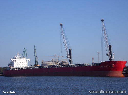
Rainbow N
Current StatusWhere is the vessel?
Rainbow N is currently in 40 nm S of Port Eads, based on AIS data received about 1h ago.
Latest AIS update:
Current position: 28.34167° N, 89.10500° W (40 nm S of Port Eads)
Average speed (last 7 days): Loading…
Average speed (last 30 days): Loading…
Vessel profile: Rainbow N is a Bulk Carrier with dimensions 32m x 229m.
This page combines live AIS, route history, probable destination signals, nearby traffic, and port activity for practical vessel monitoring.
The current position of vessel Rainbow N is 28.34167 lat / -89.10500 lng. Updated: 2026-04-19 05:49:34 UTCNearest reference points:
- Near Pilottown
- 13 nm NE of Pilottown
- Near Port Fourchon
Details:
Live Vessel Rainbow N Analytics (details, animations, etc.)
Recent AIS points (UTC):
2026-04-18 23:43:19 UTC · 29.32624, -89.38545 · SOG 13.9 kn · COG 144°2026-04-19 02:25:39 UTC · 28.86780, -89.42144 · SOG 10.3 kn · COG 190°
2026-04-19 03:20:58 UTC · 28.71736, -89.37101 · SOG 10.8 kn · COG 148°
2026-04-19 05:49:34 UTC · 28.34167, -89.10500 · SOG 10 kn · COG -1°