 vesseltracker.com
 CORNELIA M
Current Status
Where is the vessel?
CORNELIA M is currently in 142 nm SE of Port Edward, based on AIS data received less than 1h ago.
Latest AIS update:
Current position: 32.27521° S, 32.58798° E (142 nm SE of Port Edward)
Average speed (last 7 days): Loading…
Average speed (last 30 days): Loading…
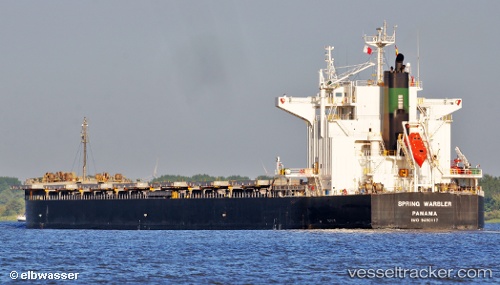
Vessel profile: CORNELIA M is a Bulk Carrier with dimensions 225m x 32m.
This page combines live AIS, route history, probable destination signals, nearby traffic, and port activity for practical vessel monitoring.
The current position of vessel CORNELIA M is -32.27521 lat / 32.58798 lng. Updated: 2026-04-17 07:42:27 UTCNearest reference points:
- 125 nm SE of Port Edward
- 181 nm SE of Hibberdene
- Near Island View
Currently sailing under the flag of Liberia ![]()
CORNELIA M built in 2012 year
Deadweight:
78400 tDetails:
Live Vessel CORNELIA M Analytics (details, animations, etc.)
Recent AIS points (UTC):
2026-04-17 02:39:14 UTC · -32.62825, 31.63769 · SOG 9.7 kn · COG 66°2026-04-17 03:46:38 UTC · -32.54965, 31.83308 · SOG 10 kn · COG 67°
2026-04-17 05:59:16 UTC · -32.39607, 32.25245 · SOG 10.6 kn · COG 70°
2026-04-17 07:42:27 UTC · -32.27521, 32.58798 · SOG 10.8 kn · COG 67°