 vesseltracker.com
 HARMONY LIGHT
Current Status
Where is the vessel?
HARMONY LIGHT is currently in Near Banjul, based on AIS data received less than 1h ago.
Latest AIS update:
Current position: 13.46380° N, 16.56018° W (Near Banjul)
Average speed (last 7 days): Loading…
Average speed (last 30 days): Loading…
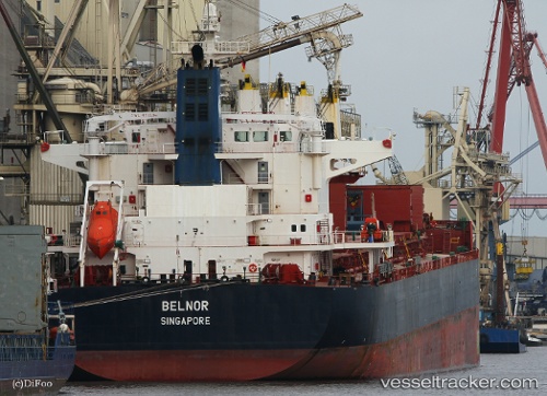
Vessel profile: HARMONY LIGHT is a Bulk Carrier with dimensions m x m.
This page combines live AIS, route history, probable destination signals, nearby traffic, and port activity for practical vessel monitoring.
The current position of vessel HARMONY LIGHT is 13.46380 lat / -16.56018 lng. Updated: 2026-04-17 04:08:09 UTCNearest reference points:
- Near Banjul
- Near San Francisco Libre
- Near Rufisque
Currently sailing under the flag of Panama ![]()
Details:
Live Vessel HARMONY LIGHT Analytics (details, animations, etc.)
Recent AIS points (UTC):
2026-04-16 22:05:11 UTC · 13.46035, -16.55852 · SOG 0 kn · COG 331°2026-04-16 23:35:10 UTC · 13.46075, -16.55800 · SOG 0 kn · COG 317°
2026-04-17 02:05:09 UTC · 13.46392, -16.56033 · SOG 0 kn · COG 180°
2026-04-17 04:08:09 UTC · 13.46380, -16.56018 · SOG 0 kn · COG 186°