 vesseltracker.com
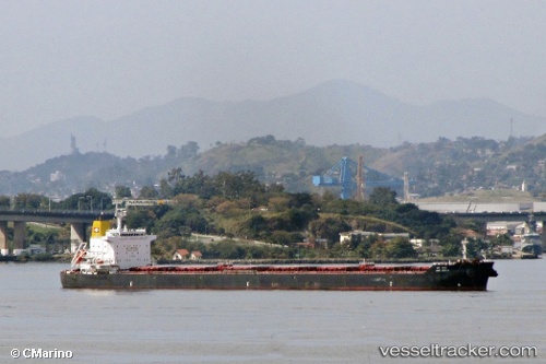
 SAN GEORGE
Current Status
Where is the vessel?
SAN GEORGE is currently in 29 nm SE of Santan Terminal, based on AIS data received about 4h ago.
Latest AIS update:
Current position: 0.44104° S, 117.88501° E (29 nm SE of Santan Terminal)
Average speed (last 7 days): Loading…
Average speed (last 30 days): Loading…
Vessel profile: SAN GEORGE is a Bulk Carrier with dimensions m x m.
This page combines live AIS, route history, probable destination signals, nearby traffic, and port activity for practical vessel monitoring.
The current position of vessel SAN GEORGE is -0.44104 lat / 117.88501 lng. Updated: 2026-04-15 02:08:53 UTCNearest reference points:
- 16 nm SE of Santan Terminal
- 22 nm NE of Handil
- Near Santan Terminal
Currently sailing under the flag of Portugal ![]()
Details:
Live Vessel SAN GEORGE Analytics (details, animations, etc.)
Recent AIS points (UTC):
2026-04-14 22:13:39 UTC · 0.19181, 117.83292 · SOG 9.7 kn · COG 176°2026-04-14 23:28:31 UTC · -0.01119, 117.82313 · SOG 9.9 kn · COG 182°
2026-04-15 02:08:53 UTC · -0.44104, 117.88501 · SOG 9.9 kn · COG 169°
2026-04-15 02:08:53 UTC · -0.44104, 117.88501 · SOG 9.9 kn · COG 169°