 vesseltracker.com
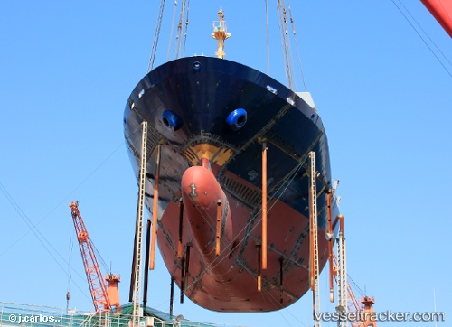
 Intra Bhum
Current Status
Where is the vessel?
Intra Bhum is currently in 15 nm SE of Wenling Longmen Port, based on AIS data received about 1h ago.
Latest AIS update:
Current position: 28.20469° N, 122.11957° E (15 nm SE of Wenling Longmen Port)
Average speed (last 7 days): Loading…
Average speed (last 30 days): Loading…
Vessel profile: Intra Bhum is a Container Ship with dimensions 144m x 22m.
This page combines live AIS, route history, probable destination signals, nearby traffic, and port activity for practical vessel monitoring.
The current position of vessel Intra Bhum is 28.20469 lat / 122.11957 lng. Updated: 2026-03-30 21:48:21 UTCNearest reference points:
- 15 nm S of Wenling Longmen Port
- 12 nm S of Wenling Longmen Port
- Near Wenling Longmen Port
Currently sailing under the flag of Thailand ![]()
Intra Bhum built in 2013 year
Deadweight:
13021 tDetails:
Live Vessel Intra Bhum Analytics (details, animations, etc.)
Recent AIS points (UTC):
2026-03-30 15:33:51 UTC · 27.14202, 120.99191 · SOG 15 kn · COG 31°2026-03-30 17:55:09 UTC · 27.60582, 121.41056 · SOG 14.8 kn · COG 30°
2026-03-30 20:03:18 UTC · 27.96285, 121.79229 · SOG 13.3 kn · COG 60°
2026-03-30 21:48:21 UTC · 28.20469, 122.11957 · SOG 13 kn · COG 39°