 vesseltracker.com
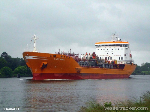
 MELISSUS
Current Status
Where is the vessel?
MELISSUS is currently in 11 nm SE of Ballito Bay, based on AIS data received about 20h ago.
Latest AIS update:
Current position: 29.65037° S, 31.37560° E (11 nm SE of Ballito Bay)
Average speed (last 7 days): Loading…
Average speed (last 30 days): Loading…
Vessel profile: MELISSUS is a Bulk Carrier with dimensions 38m x 229m.
This page combines live AIS, route history, probable destination signals, nearby traffic, and port activity for practical vessel monitoring.
The current position of vessel MELISSUS is -29.65037 lat / 31.37560 lng. Updated: 2026-04-10 07:43:15 UTCNearest reference points:
- Near Umhlanga Rocks
- Near Durban
- Near Island View
Currently sailing under the flag of Liberia ![]()
MELISSUS built in 2012 year
Deadweight:
93029 tDetails:
Live Vessel MELISSUS Analytics (details, animations, etc.)
Recent AIS points (UTC):
2026-04-10 02:13:20 UTC · -29.87647, 31.05356 · SOG 0 kn · COG 218°2026-04-10 04:01:20 UTC · -29.87644, 31.05355 · SOG 0 kn · COG 218°
2026-04-10 05:34:26 UTC · -29.87642, 31.05358 · SOG 0 kn · COG 218°
2026-04-10 07:43:15 UTC · -29.65037, 31.37560 · SOG 12.8 kn · COG 50°