 vesseltracker.com
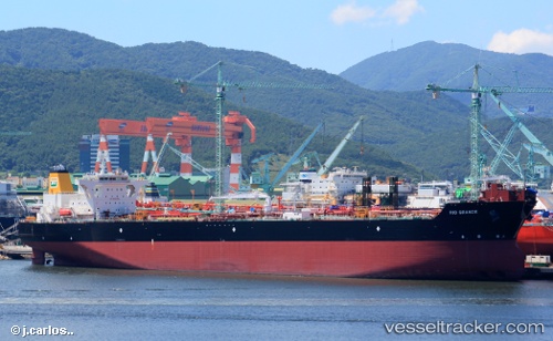
Rio Grande
Current StatusWhere is the vessel?
Rio Grande is currently in 10 nm E of ITAPOA, based on AIS data received about 1h ago.
Latest AIS update:
Current position: 26.23251° S, 48.41636° W (10 nm E of ITAPOA)
Average speed (last 7 days): Loading…
Average speed (last 30 days): Loading…
Vessel profile: Rio Grande is a Crude Oil Tanker with dimensions 42m x 245m.
This page combines live AIS, route history, probable destination signals, nearby traffic, and port activity for practical vessel monitoring.
The current position of vessel Rio Grande is -26.23251 lat / -48.41636 lng. Updated: 2026-04-06 11:41:39 UTCNearest reference points:
- 24 nm E of Caioba
- 32 nm E of Caioba
- 10 nm NE of CAMBORIU
Details:
Live Vessel Rio Grande Analytics (details, animations, etc.)
Recent AIS points (UTC):
2026-04-06 05:41:30 UTC · -26.29152, -48.35337 · SOG 0.7 kn · COG 119°2026-04-06 07:48:12 UTC · -26.27268, -48.36391 · SOG 2.2 kn · COG 330°
2026-04-06 09:57:40 UTC · -26.25108, -48.38117 · SOG 0.5 kn · COG 72°
2026-04-06 11:41:39 UTC · -26.23251, -48.41636 · SOG 0.2 kn · COG 277°