 vesseltracker.com
 GOLDEN ARSENAL
Current Status
Where is the vessel?
GOLDEN ARSENAL is currently in 93 nm S of Sulayel, based on AIS data received about 4h ago.
Latest AIS update:
Current position: 18.93638° N, 45.36965° E (93 nm S of Sulayel)
Average speed (last 7 days): Loading…
Average speed (last 30 days): Loading…
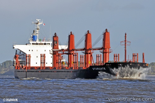
Vessel profile: GOLDEN ARSENAL is a Bulk Carrier with dimensions 169m x 27m.
This page combines live AIS, route history, probable destination signals, nearby traffic, and port activity for practical vessel monitoring.
The current position of vessel GOLDEN ARSENAL is 18.93638 lat / 45.36965 lng. Updated: 2026-04-10 03:47:20 UTCCurrently sailing under the flag of St Vincent and Grenadines ![]()
GOLDEN ARSENAL built in 2011 year
Deadweight:
28221 tDetails:
Live Vessel GOLDEN ARSENAL Analytics (details, animations, etc.)
Recent AIS points (UTC):
2026-04-09 15:58:43 UTC · 19.61402, 37.22944 · SOG 0 kn · COG 358°2026-04-10 03:47:20 UTC · 18.93638, 45.36965 · SOG 19.4 kn · COG 358°
2026-04-10 03:47:20 UTC · 18.93638, 45.36965 · SOG 19.4 kn · COG 358°
2026-04-10 03:47:20 UTC · 18.93638, 45.36965 · SOG 19.4 kn · COG 358°