 vesseltracker.com
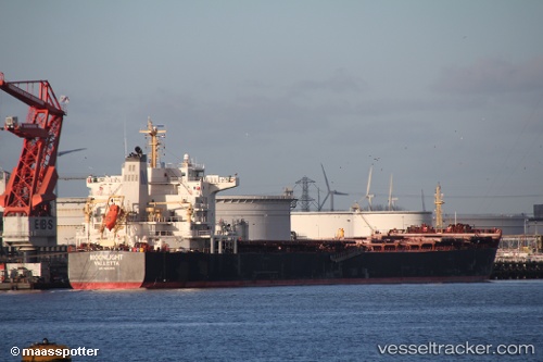
 MAROULIO S
Current Status
Where is the vessel?
MAROULIO S is currently in 19 nm NE of Al Gurdagah, based on AIS data received about 2h ago.
Latest AIS update:
Current position: 27.50654° N, 34.05879° E (19 nm NE of Al Gurdagah)
Average speed (last 7 days): Loading…
Average speed (last 30 days): Loading…
Vessel profile: MAROULIO S is a Bulk Carrier with dimensions 175m x 31m.
This page combines live AIS, route history, probable destination signals, nearby traffic, and port activity for practical vessel monitoring.
The current position of vessel MAROULIO S is 27.50654 lat / 34.05879 lng. Updated: 2026-04-07 07:32:40 UTCNearest reference points:
- 19 nm SE of Zeit Bay
- Near El-Guna (El Gouna)
- Near Bur Safaga
Currently sailing under the flag of Liberia ![]()
MAROULIO S built in 2010 year
Deadweight:
75700 tDetails:
Live Vessel MAROULIO S Analytics (details, animations, etc.)
Recent AIS points (UTC):
2026-04-07 01:31:40 UTC · 28.31131, 33.18440 · SOG 11 kn · COG 150°2026-04-07 03:24:44 UTC · 28.04667, 33.44667 · SOG 11 kn · COG -1°
2026-04-07 05:43:09 UTC · 27.74894, 33.79688 · SOG 10.9 kn · COG 139°
2026-04-07 07:32:40 UTC · 27.50654, 34.05879 · SOG 10.4 kn · COG 136°