 vesseltracker.com
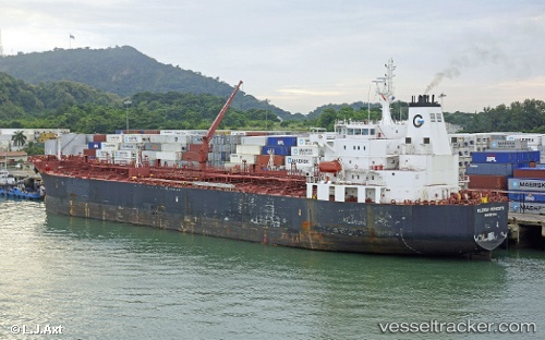
 AQUARIUS T
Current Status
Where is the vessel?
AQUARIUS T is currently in 140 nm S of Sao Filipe, based on AIS data received about 1h ago.
Latest AIS update:
Current position: 12.60963° N, 24.93991° W (140 nm S of Sao Filipe)
Average speed (last 7 days): Loading…
Average speed (last 30 days): Loading…
Vessel profile: AQUARIUS T is a Chemical/Oil Products Tanker with dimensions 32m x 183m.
This page combines live AIS, route history, probable destination signals, nearby traffic, and port activity for practical vessel monitoring.
The current position of vessel AQUARIUS T is 12.60963 lat / -24.93991 lng. Updated: 2026-03-28 16:04:48 UTCCurrently sailing under the flag of Marshall Islands ![]()
AQUARIUS T built in 2010 year
Deadweight:
46147 tDetails:
Live Vessel AQUARIUS T Analytics (details, animations, etc.)
Recent AIS points (UTC):
2026-03-28 09:46:57 UTC · 13.98500, -24.31870 · SOG 14.8 kn · COG 205°2026-03-28 11:25:58 UTC · 13.62333, -24.48833 · SOG 14 kn · COG -1°
2026-03-28 13:25:58 UTC · 13.18500, -24.68167 · SOG 14 kn · COG -1°
2026-03-28 16:04:48 UTC · 12.60963, -24.93991 · SOG 14.2 kn · COG 200°