 vesseltracker.com
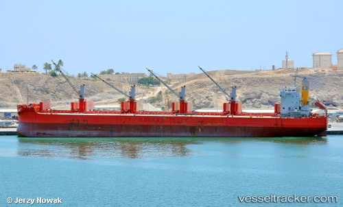
Jag Radha
Current StatusWhere is the vessel?
Jag Radha is currently in Near Chittagong, based on AIS data received about 1h ago.
Latest AIS update:
Current position: 22.28133° N, 91.72979° E (Near Chittagong)
Average speed (last 7 days): Loading…
Average speed (last 30 days): Loading…
Vessel profile: Jag Radha is a Bulk Carrier with dimensions 32m x 190m.
This page combines live AIS, route history, probable destination signals, nearby traffic, and port activity for practical vessel monitoring.
The current position of vessel Jag Radha is 22.28133 lat / 91.72979 lng. Updated: 2026-04-18 01:52:24 UTCNearest reference points:
- Near Chittagong
- 12 nm NW of Chattogram
- 23 nm NW of Cox's Bazar
Details:
Live Vessel Jag Radha Analytics (details, animations, etc.)
Recent AIS points (UTC):
2026-04-17 20:13:23 UTC · 22.27845, 91.72715 · SOG 0.2 kn · COG 328°2026-04-17 22:16:24 UTC · 22.27698, 91.72942 · SOG 0.3 kn · COG 337°
2026-04-18 00:17:52 UTC · 22.28167, 91.72667 · SOG 0 kn · COG -1°
2026-04-18 01:52:24 UTC · 22.28133, 91.72979 · SOG 0.1 kn · COG 356°