 vesseltracker.com
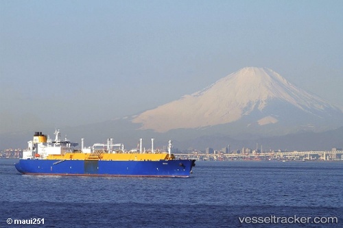
Amali
Current StatusWhere is the vessel?
Amali is currently in 55 nm SW of Tindalo Oil Field, based on AIS data received less than 1h ago.
Latest AIS update:
Current position: 10.57927° N, 118.10828° E (55 nm SW of Tindalo Oil Field)
Average speed (last 7 days): Loading…
Average speed (last 30 days): Loading…
Vessel profile: Amali is a Lng Tanker with dimensions 44m x 284m.
This page combines live AIS, route history, probable destination signals, nearby traffic, and port activity for practical vessel monitoring.
The current position of vessel Amali is 10.57927 lat / 118.10828 lng. Updated: 2026-04-17 13:39:15 UTCNearest reference points:
- 70 nm W of Puerto Princesa
- 43 nm W of Malampaya
- 65 nm NW of Malampaya
Details:
Live Vessel Amali Analytics (details, animations, etc.)
Recent AIS points (UTC):
2026-04-17 07:09:41 UTC · 8.99854, 116.92376 · SOG 18 kn · COG 39°2026-04-17 08:44:53 UTC · 9.38202, 117.23294 · SOG 18 kn · COG 39°
2026-04-17 11:59:40 UTC · 10.14852, 117.86336 · SOG 18.5 kn · COG 38°
2026-04-17 13:39:15 UTC · 10.57927, 118.10828 · SOG 18.2 kn · COG 12°