 vesseltracker.com
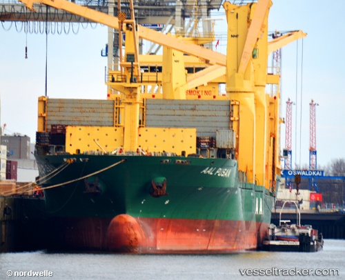
Aal Pusan
Current StatusWhere is the vessel?
Aal Pusan is currently in Near Lake Charles, based on AIS data received about 1h ago.
Latest AIS update:
Current position: 30.21005° N, 93.25439° W (Near Lake Charles)
Average speed (last 7 days): Loading…
Average speed (last 30 days): Loading…
Vessel profile: Aal Pusan is a Multi Purpose Carrier with dimensions 29m x 194m.
This page combines live AIS, route history, probable destination signals, nearby traffic, and port activity for practical vessel monitoring.
The current position of vessel Aal Pusan is 30.21005 lat / -93.25439 lng. Updated: 2026-04-07 02:30:45 UTCNearest reference points:
- Near Lake Charles
- Near Carlyss
- Near Lake Arthur
Details:
Live Vessel Aal Pusan Analytics (details, animations, etc.)
Recent AIS points (UTC):
2026-04-06 19:55:03 UTC · 30.21007, -93.25440 · SOG 0 kn · COG -1°2026-04-06 21:36:45 UTC · 30.21007, -93.25440 · SOG 0 kn · COG 109°
2026-04-06 23:24:45 UTC · 30.21007, -93.25439 · SOG 0 kn · COG 111°
2026-04-07 02:30:45 UTC · 30.21005, -93.25439 · SOG 0 kn · COG 109°