 TINA S
Current Status
Where is the vessel?
TINA S is currently in Near Casablanca, based on AIS data received about 14h ago.
Latest AIS update:
Current position: 33.73474° N, 7.64206° W (Near Casablanca)
Average speed (last 7 days): Loading…
Average speed (last 30 days): Loading…
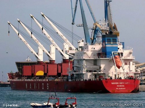
Vessel profile: TINA S is a Bulk Carrier with dimensions 180m x 30m.
This page combines live AIS, route history, probable destination signals, nearby traffic, and port activity for practical vessel monitoring.
The current position of vessel TINA S is 33.73474 lat / -7.64206 lng. Updated: 2026-05-23 11:34:53 UTCNearest reference points:
- Near Mohammedia
- 54 nm N of El Jadida
- Near Jorf Lasfar
Currently sailing under the flag of Liberia ![]()
TINA S built in 2011 year
Deadweight:
34690 tDetails:
Live Vessel TINA S Analytics (details, animations, etc.)
Recent AIS points (UTC):
2026-05-23 07:59:05 UTC · 33.73444, -7.64045 · SOG 0.1 kn · COG 356°2026-05-23 09:47:56 UTC · 33.73456, -7.64177 · SOG 0.1 kn · COG 23°
2026-05-23 11:12:54 UTC · 33.73465, -7.64177 · SOG 0.2 kn · COG -1°
2026-05-23 11:34:53 UTC · 33.73474, -7.64206 · SOG 0.1 kn · COG 24°