 vesseltracker.com
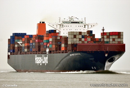
 NEW YORK EXPRESS
Current Status
Where is the vessel?
NEW YORK EXPRESS is currently in 14 nm N of Ryuo, based on AIS data received about 1h ago.
Latest AIS update:
Current position: 35.89705° N, 16.55919° E (14 nm N of Ryuo)
Average speed (last 7 days): Loading…
Average speed (last 30 days): Loading…
Vessel profile: NEW YORK EXPRESS is a Container Ship with dimensions m x m.
This page combines live AIS, route history, probable destination signals, nearby traffic, and port activity for practical vessel monitoring.
The current position of vessel NEW YORK EXPRESS is 35.89705 lat / 16.55919 lng. Updated: 2026-04-05 11:57:44 UTCNearest reference points:
- 33 nm N of Ryuo
- 34 nm NE of Villafranca Tirrena
- 53 nm NE of Ryuo
Currently sailing under the flag of Liberia ![]()
Details:
Live Vessel NEW YORK EXPRESS Analytics (details, animations, etc.)
Recent AIS points (UTC):
2026-04-05 06:24:10 UTC · 36.37945, 14.63943 · SOG 18 kn · COG 108°2026-04-05 08:07:20 UTC · 36.22975, 15.24337 · SOG 17.4 kn · COG 103°
2026-04-05 09:41:33 UTC · 36.09992, 15.79230 · SOG 17.5 kn · COG 107°
2026-04-05 11:57:44 UTC · 35.89705, 16.55919 · SOG 16.8 kn · COG 105°