 vesseltracker.com
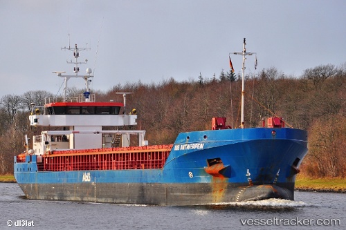
 Fluvius Tavy
Current Status
Where is the vessel?
Fluvius Tavy is currently in 42 nm NW of MARETTIMO, based on AIS data received about 2h ago.
Latest AIS update:
Current position: 38.24719° N, 11.27248° E (42 nm NW of MARETTIMO)
Average speed (last 7 days): Loading…
Average speed (last 30 days): Loading…
Vessel profile: Fluvius Tavy is a General Cargo Ship with dimensions 90m x 14m.
This page combines live AIS, route history, probable destination signals, nearby traffic, and port activity for practical vessel monitoring.
The current position of vessel Fluvius Tavy is 38.24719 lat / 11.27248 lng. Updated: 2026-03-27 01:40:09 UTCNearest reference points:
- 32 nm N of Qulaybiyah
- 13 nm N of Qulaybiyah
- Near MARSALA
Currently sailing under the flag of Barbados ![]()
Fluvius Tavy built in 2009 year
Deadweight:
4200 tDetails:
Live Vessel Fluvius Tavy Analytics (details, animations, etc.)
Recent AIS points (UTC):
2026-03-26 16:15:17 UTC · 38.03130, 9.67058 · SOG 9.3 kn · COG -1°2026-03-26 19:28:50 UTC · 38.08295, 10.25060 · SOG 7.8 kn · COG 64°
2026-03-26 22:25:07 UTC · 38.16186, 10.72022 · SOG 8.2 kn · COG 80°
2026-03-27 01:40:09 UTC · 38.24719, 11.27248 · SOG 7.6 kn · COG 71°