 vesseltracker.com
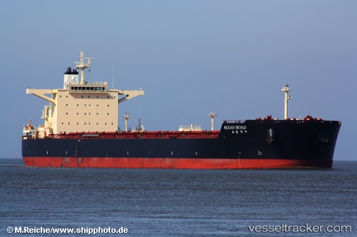
Ocean Road
Current StatusWhere is the vessel?
Ocean Road is currently in 193 nm W of Bolinao, based on AIS data received about 1h ago.
Latest AIS update:
Current position: 16.71188° N, 116.55503° E (193 nm W of Bolinao)
Average speed (last 7 days): Loading…
Average speed (last 30 days): Loading…
Vessel profile: Ocean Road is a Bulk Carrier with dimensions 45m x 292m.
This page combines live AIS, route history, probable destination signals, nearby traffic, and port activity for practical vessel monitoring.
The current position of vessel Ocean Road is 16.71188 lat / 116.55503 lng. Updated: 2026-04-17 09:47:52 UTCNearest reference points:
- 138 nm NW of Bolinao
- 222 nm W of Iba
- 282 nm E of Tan Cang Qui Nhon
Details:
Live Vessel Ocean Road Analytics (details, animations, etc.)
Recent AIS points (UTC):
2026-04-17 03:27:54 UTC · 17.57940, 117.42998 · SOG 11.7 kn · COG 222°2026-04-17 05:54:12 UTC · 17.25798, 117.08540 · SOG 11.7 kn · COG 227°
2026-04-17 07:27:53 UTC · 17.04615, 116.86675 · SOG 11.4 kn · COG 223°
2026-04-17 09:47:52 UTC · 16.71188, 116.55503 · SOG 11.6 kn · COG 226°