 vesseltracker.com
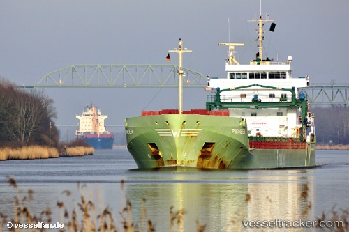
Vessel KAIE IMO: 9504102, MMSI: 305036000 General Cargo Ship
UTC, 52.60698, -9.49931, course: -1, speed: 0.1
UTC, 52.60698, -9.49931, course: -1, speed: 0.1
2026-02-26 03:32:15 UTC, 52.60698, -9.49931, course: -1, speed: 0.1
Live AIS position:
UTC. Near Tarbert Island),
updated 2026-02-26 03:32:15 UTC.
Find the position of the vessel KAIE on the map. The latter are known coordinates and path.
marine traffic ship tracker show on live map
The current position of vessel KAIE is 52.60698 lat / -9.49931 lng. Updated: 2026-02-26 03:32:15 UTCCurrently sailing under the flag of Antigua and Barbuda
KAIE built in 2010 year
Deadweight:
11048 tDetails:
Last coordinates of the vessel:
UTC, 52.60738, -9.49700, course: 183, speed: 0.1UTC, 52.60698, -9.49931, course: -1, speed: 0.1
UTC, 52.60698, -9.49931, course: -1, speed: 0.1
2026-02-26 03:32:15 UTC, 52.60698, -9.49931, course: -1, speed: 0.1