 vesseltracker.com
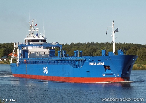
 GROSSE FREIHEIT
Current Status
Where is the vessel?
GROSSE FREIHEIT is currently in 16 nm SE of Grankullavik, based on AIS data received less than 1h ago.
Latest AIS update:
Current position: 57.14621° N, 17.43942° E (16 nm SE of Grankullavik)
Average speed (last 7 days): Loading…
Average speed (last 30 days): Loading…
Vessel profile: GROSSE FREIHEIT is a General Cargo Ship with dimensions 107m x 16m.
This page combines live AIS, route history, probable destination signals, nearby traffic, and port activity for practical vessel monitoring.
The current position of vessel GROSSE FREIHEIT is 57.14621 lat / 17.43942 lng. Updated: 2026-04-21 15:34:30 UTCNearest reference points:
- Near Stora Vika
- Near Krokek
- Near SODERTALJE
Currently sailing under the flag of Portugal (MAR) ![]()
GROSSE FREIHEIT built in 2012 year
Deadweight:
5465 tDetails:
Live Vessel GROSSE FREIHEIT Analytics (details, animations, etc.)
Recent AIS points (UTC):
2026-04-21 11:23:38 UTC · 57.83508, 18.07322 · SOG 11.4 kn · COG 209°2026-04-21 13:01:50 UTC · 57.57491, 17.78362 · SOG 11.1 kn · COG 210°
2026-04-21 13:47:50 UTC · 57.45381, 17.65897 · SOG 11 kn · COG 201°
2026-04-21 15:34:30 UTC · 57.14621, 17.43942 · SOG 11.2 kn · COG 202°