 vesseltracker.com
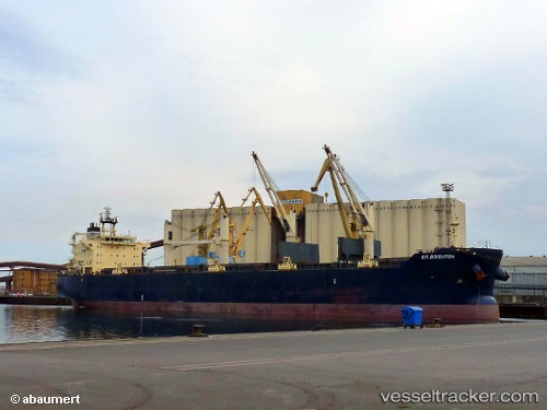
 Star Bright
Current Status
Where is the vessel?
Star Bright is currently in 22 nm SW of Exspan, based on AIS data received about 1h ago.
Latest AIS update:
Current position: 2.12738° S, 104.96375° E (22 nm SW of Exspan)
Average speed (last 7 days): Loading…
Average speed (last 30 days): Loading…
Vessel profile: Star Bright is a Bulk Carrier with dimensions 188m x 32m.
This page combines live AIS, route history, probable destination signals, nearby traffic, and port activity for practical vessel monitoring.
The current position of vessel Star Bright is -2.12738 lat / 104.96375 lng. Updated: 2026-03-26 18:08:33 UTCNearest reference points:
- 36 nm SW of Exspan
- 38 nm SW of PANGKAL BALAM
- Near Kertapati
Currently sailing under the flag of Liberia ![]()
Star Bright built in 2010 year
Deadweight:
55783 tDetails:
Live Vessel Star Bright Analytics (details, animations, etc.)
Recent AIS points (UTC):
2026-03-26 11:52:56 UTC · -2.01943, 104.96488 · SOG 0.2 kn · COG 356°2026-03-26 14:04:52 UTC · -2.01871, 104.96449 · SOG 0.2 kn · COG 5°
2026-03-26 15:41:21 UTC · -2.12999, 104.97013 · SOG 2 kn · COG 339°
2026-03-26 18:08:33 UTC · -2.12738, 104.96375 · SOG 0.1 kn · COG 9°