 vesseltracker.com
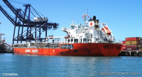
 AAPUS 11
Current Status
Where is the vessel?
AAPUS 11 is currently in 256 nm N of Saint George, based on AIS data received less than 1h ago.
Latest AIS update:
Current position: 36.62255° N, 65.24362° W (256 nm N of Saint George)
Average speed (last 7 days): Loading…
Average speed (last 30 days): Loading…
Vessel profile: AAPUS 11 is a Oil/Chemical Tanker with dimensions m x m.
This page combines live AIS, route history, probable destination signals, nearby traffic, and port activity for practical vessel monitoring.
The current position of vessel AAPUS 11 is 36.62255 lat / -65.24362 lng. Updated: 2026-04-08 13:52:12 UTCNearest reference points:
- 273 nm SE of NANTUCKET
Currently sailing under the flag of Panama ![]()
Details:
Live Vessel AAPUS 11 Analytics (details, animations, etc.)
Recent AIS points (UTC):
2026-04-08 07:23:30 UTC · 36.13197, -66.27605 · SOG 8.6 kn · COG 58°2026-04-08 09:27:27 UTC · 36.29185, -65.94715 · SOG 9.1 kn · COG 62°
2026-04-08 11:53:09 UTC · 36.48487, -65.54152 · SOG 9.4 kn · COG 62°
2026-04-08 13:52:12 UTC · 36.62255, -65.24362 · SOG 8 kn · COG 53°