 vesseltracker.com
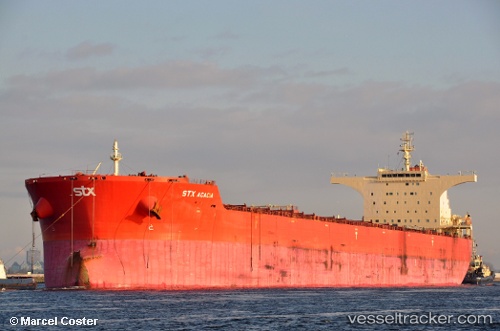
 Pan Acacia
Current Status
Where is the vessel?
Pan Acacia is currently in 15 nm S of Cape Agulhas, based on AIS data received less than 1h ago.
Latest AIS update:
Current position: 35.06356° S, 19.90738° E (15 nm S of Cape Agulhas)
Average speed (last 7 days): Loading…
Average speed (last 30 days): Loading…
Vessel profile: Pan Acacia is a Bulk Carrier with dimensions 291m x 45m.
This page combines live AIS, route history, probable destination signals, nearby traffic, and port activity for practical vessel monitoring.
The current position of vessel Pan Acacia is -35.06356 lat / 19.90738 lng. Updated: 2026-04-17 16:02:22 UTCNearest reference points:
- 15 nm SE of Moorreesburg
- Near Mitchells Plain
- Near Salt River
Currently sailing under the flag of Panama ![]()
Pan Acacia built in 2010 year
Deadweight:
175292 tDetails:
Live Vessel Pan Acacia Analytics (details, animations, etc.)
Recent AIS points (UTC):
2026-04-17 10:22:38 UTC · -34.92542, 20.94312 · SOG 10.7 kn · COG 263°2026-04-17 12:03:57 UTC · -34.96316, 20.63023 · SOG 8.3 kn · COG 255°
2026-04-17 14:06:45 UTC · -35.02242, 20.28877 · SOG 9.1 kn · COG 260°
2026-04-17 16:02:22 UTC · -35.06356, 19.90738 · SOG 10.3 kn · COG 273°