 vesseltracker.com
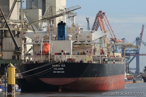
 QUEEN BAY
Current Status
Where is the vessel?
QUEEN BAY is currently in Near Basrah Oil Terminal, based on AIS data received less than 1h ago.
Latest AIS update:
Current position: 29.63367° N, 48.70702° E (Near Basrah Oil Terminal)
Average speed (last 7 days): Loading…
Average speed (last 30 days): Loading…
Vessel profile: QUEEN BAY is a Cargo with dimensions m x m.
This page combines live AIS, route history, probable destination signals, nearby traffic, and port activity for practical vessel monitoring.
The current position of vessel QUEEN BAY is 29.63367 lat / 48.70702 lng. Updated: 2026-03-31 18:22:52 UTCNearest reference points:
- 11 nm SW of Basrah Oil Terminal
- 15 nm S of Imam Khomeini Pt/ Mahshahr City
- Near Ra's al Ard
Currently sailing under the flag of Liberia ![]()
Details:
Live Vessel QUEEN BAY Analytics (details, animations, etc.)
Recent AIS points (UTC):
2026-03-31 11:49:27 UTC · 29.63215, 48.71088 · SOG 0 kn · COG 267°2026-03-31 13:52:29 UTC · 29.63402, 48.70958 · SOG 0.1 kn · COG 204°
2026-03-31 16:01:31 UTC · 29.63388, 48.70730 · SOG 0 kn · COG 146°
2026-03-31 18:22:52 UTC · 29.63367, 48.70702 · SOG 0 kn · COG 137°