 vesseltracker.com
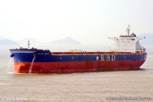
 RICHMOND
Current Status
Where is the vessel?
RICHMOND is currently in 10 nm E of Mundra, based on AIS data received about 1d ago.
Latest AIS update:
Current position: 22.72073° N, 69.88325° E (10 nm E of Mundra)
Average speed (last 7 days): Loading…
Average speed (last 30 days): Loading…
Vessel profile: RICHMOND is a Cargo with dimensions m x m.
This page combines live AIS, route history, probable destination signals, nearby traffic, and port activity for practical vessel monitoring.
The current position of vessel RICHMOND is 22.72073 lat / 69.88325 lng. Updated: 2026-04-10 07:35:36 UTCNearest reference points:
- Near SIKKA
- 12 nm N of Rozi
- Near Mundra
Currently sailing under the flag of Marshall Islands ![]()
Details:
Live Vessel RICHMOND Analytics (details, animations, etc.)
Recent AIS points (UTC):
2026-04-10 01:53:37 UTC · 22.71863, 69.88622 · SOG 0.3 kn · COG 347°2026-04-10 03:38:38 UTC · 22.72060, 69.88283 · SOG 0 kn · COG 69°
2026-04-10 06:08:37 UTC · 22.72085, 69.88270 · SOG 0 kn · COG 77°
2026-04-10 07:35:36 UTC · 22.72073, 69.88325 · SOG 0 kn · COG 82°