 vesseltracker.com
 LACERTA
Current Status
Where is the vessel?
LACERTA is currently in 17 nm S of PUNTA DEL ESTE, based on AIS data received about 1d ago.
Latest AIS update:
Current position: 35.23464° S, 54.99586° W (17 nm S of PUNTA DEL ESTE)
Average speed (last 7 days): Loading…
Average speed (last 30 days): Loading…
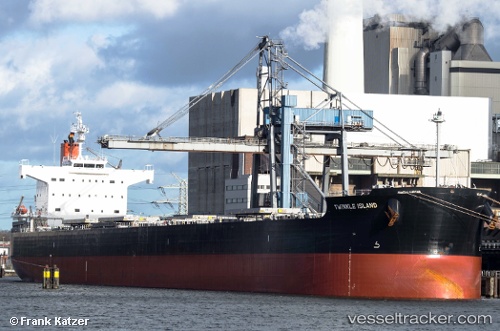
Vessel profile: LACERTA is a Bulk Carrier with dimensions m x m.
This page combines live AIS, route history, probable destination signals, nearby traffic, and port activity for practical vessel monitoring.
The current position of vessel LACERTA is -35.23464 lat / -54.99586 lng. Updated: 2026-04-10 08:17:06 UTCNearest reference points:
- 12 nm S of Piriápolis
- 21 nm E of PUNTA DEL ESTE
- 16 nm N of Cabo San Antonio
Currently sailing under the flag of Liberia ![]()
Details:
Live Vessel LACERTA Analytics (details, animations, etc.)
Recent AIS points (UTC):
2026-04-10 01:27:42 UTC · -35.16671, -56.43198 · SOG 11 kn · COG 86°2026-04-10 03:54:05 UTC · -35.07684, -55.93576 · SOG 10.1 kn · COG 87°
2026-04-10 05:38:43 UTC · -35.08584, -55.54691 · SOG 11.7 kn · COG 94°
2026-04-10 08:17:06 UTC · -35.23464, -54.99586 · SOG 11 kn · COG 131°